Nemeth/Star Productions - Picture Gallery


Legal Notice
Privacy
© Nemeth/Star Productions 2025
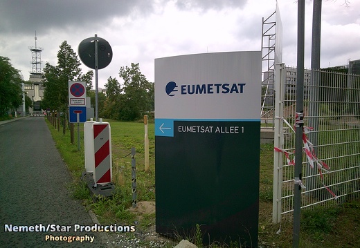
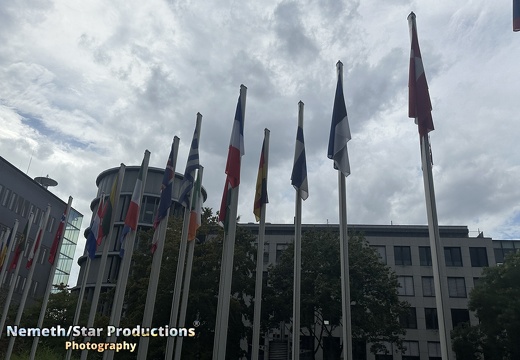
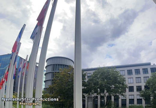
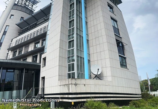
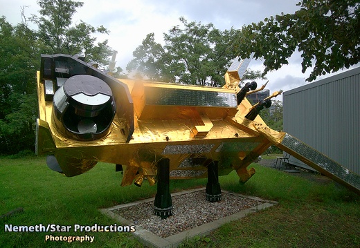
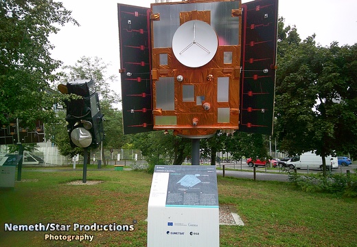
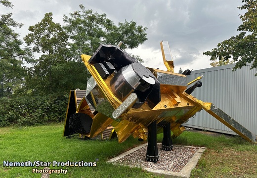
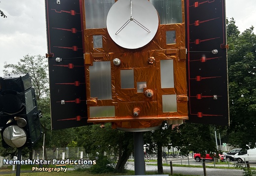
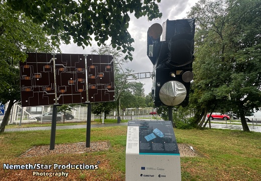
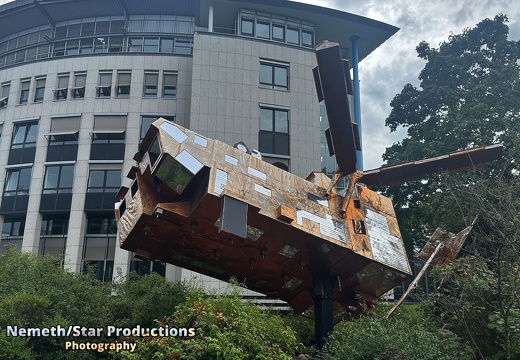
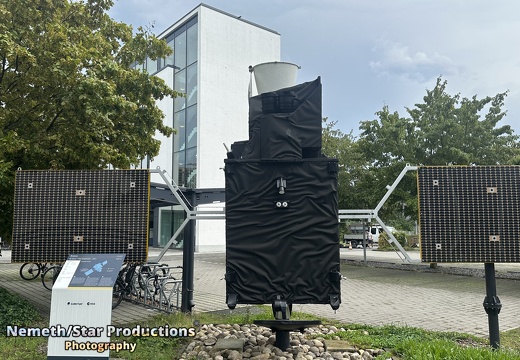
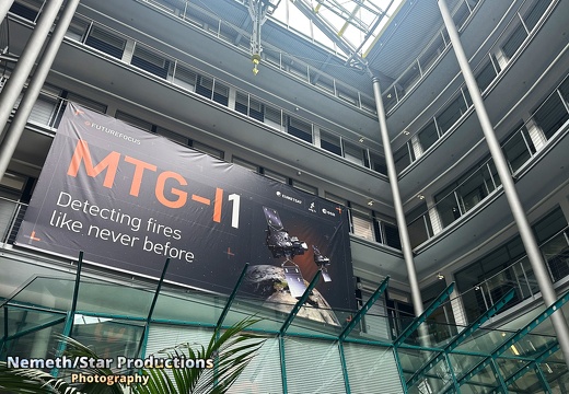
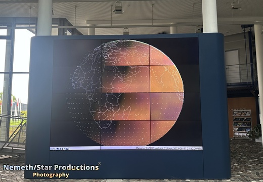
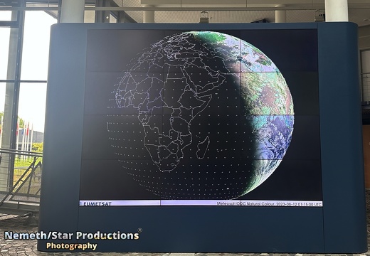
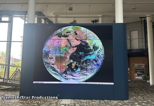
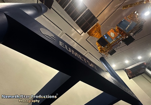
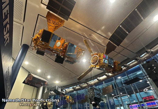
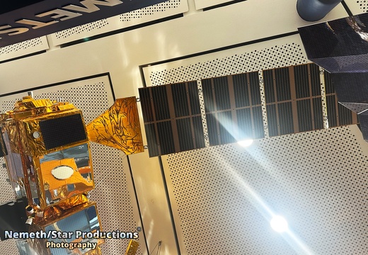
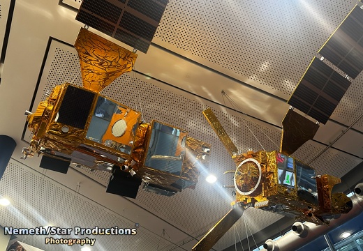
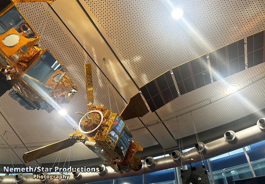
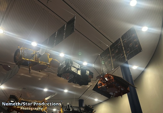
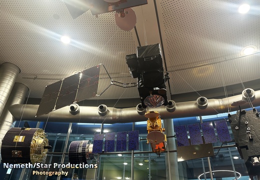
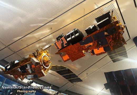
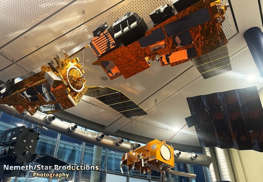
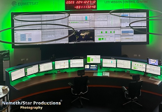
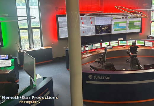
Welcome to the EUMETSAT control center in Darmstadt, Germany. Here the EUMETSAT team controls 9 different weather satellites. The satellites - mostly launched by the European Space Agency's Ariane Program or via other rocket launchers like Space X - delivered Petabytes of weather data to the EUMESAT control center in the recent years. The raw-data is been stored in Darmstadt and provided to weather facilities and services around the world for free. EUMETSAT Satellite Application Facilities (SAFs), also aggregate specific data for weather facilities and services and scientific research at additional costs. But primarily the data is free. EUMETSAT is finance by European tax money of it's 30 member states. Currently Germany, the UK, France and Italy are biggest contributes to EUMETSAT. The short-term EUMETSAT stands for "**Eu**ropean Organisation for the Exploitation of **Met**eorological **Sat**ellites". Today weather satellites can measure all kinds of weather related data like Air pressure, light wave lengths, dust, clouds, smoke, atmospheric gases, aerosols, Ocean currents, Greenhouse gases and observes phenomena such as El Niño. The satellites cover almost the whole world - from the equatorial region's till the the poles and circle the earth once in 90 minutes. The weather data is also widely used by African countries to create weather forecasts or to investigate the impact of climate change on the continent. Today we show you different models to satellites and you can get a look into the control room. The Sentinel-3 satellites of the Copernicus program, the Metop satellites and all other satellite models outside of the EUMETSAT building are 1:1 size-models. All other satellite models inside the building are mostly 1:4 size-models. The Copernicus program of the European Space Agency and the the European Commission observes Oceans, land and ice masses, and the Earth's atmosphere. The Metop satellites built the space segment of the EUMETSAT Polar Systems. Their instruments are used to observe the Earth's atmosphere, land masses and oceans. Their data are of crucial importance for the weather forecast of up to 10 days as well as for the climate observation. The Meteosat 3rd Generation imaging satellites provide very frequent and high-resolution imagery enabling now-casting of fast developing, high-impact weather. The ability to detect severe weather at an early stage combined with the new ability to map lightning, activity will help protect lives, property and infrastructure. This episode is published under CC-BY 4.0 Please credit as follows Photo: Sven Nemeth Published by: Nemeth/Star Productions (https://nemethstarproductions.eu)
Powered by Piwigo
